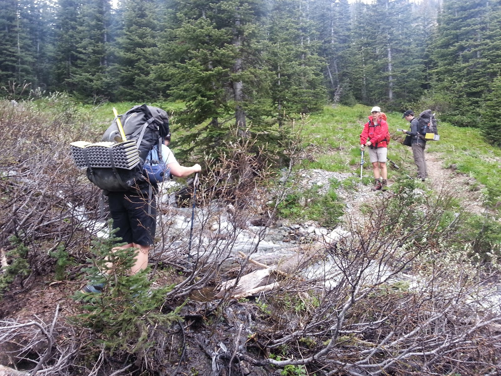
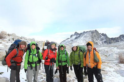
Snow camping outing with Boe Alps team, the Morteneers. We hiked in to Devil's Basin, our base camp for the weekend. Left our cars at the trailhead at 6:45 AM (just south of Verlot Ranger Station, off the Mountain Loop Highway) and arrived to camp at 12:30 PM.


After setting up camp and eating a bit, we geared up and headed towards our summit objective for the day, Devil's Thumb. The first part of the climb was a flat traverse through a short valley. While we were kicking steps, a couple of mini avalanches fell just behind us where we had walked. We continued towards a gully, where we headed more or less straight up to the summit. We reached the top of one very steep and exposed section. I was in the lead at that section, and ended up nearly cresting a cornice. The reality of my error terrified me, and I took a pause and waited on the slope for the rest of the team to catch up and pass me. I ended up feeling more panicked and shaky than I initially realized, and asked my instructors to help me get to where the rest of the team reached. My lead instructor tied a rope around my waist, somewhat of a makeshift belay, and pulled me forwards until I reached everyone else.
From that vantage point, the instructors set up several fixed lines, and half of our team made the summit. Three of us stayed behind. After my scare I was mentally and emotionally exhausted and decided it would be unsafe for me to continue. When I considered continuing, I felt my eyes well with tears and my breathing became rapid and shallow. I had had enough. Two of my teammates were concerned about daylight (we reached the ridge at 3:45, and by 6:15 there were still four team members to go). The three of us, plus one instructor headed back to base camp around 7:15 PM, and hit the valley just after the sun set. The entire team made it back to camp by 9:45 PM. We sat around our kitchen carved out of snow for a couple of hours and boiled water for dinner and the next day.


On Sunday morning, we woke up around 7:15 AM. The instructors taught us how to set up a Z pulley system for crevasse rescue. Each student had the opportunity to practice the skills. Then one of our instructors gave us a demonstration of how to dig avalanche pits and evaluate the snow layers for avalanche risk. We broke down camp and headed towards the trailhead at 1:35. We made it to the cars at 4:35 PM. Overall, a fun weekend. I found limits I wasn't aware I had, and felt deeply humbled by the patience and responsiveness of my team when I reached out for help. Our team felt cohesive throughout the trip, and we created more memories together.
.JPG) Immediately upon landing into camp at Scatter Lake (elevation ~6300 feet), the wind picked up and it was COLD. We quickly threw the tents together, bolted 'em down with large rocks and got water boiling. Matt took me up on my offer to go for the summit, so we did. Matt's photo of the sunset (to the left) shows the fleeting view we had from the climb up to the summit. We encountered white-out conditions and snow at the top of the peak (~7300 feet).
Immediately upon landing into camp at Scatter Lake (elevation ~6300 feet), the wind picked up and it was COLD. We quickly threw the tents together, bolted 'em down with large rocks and got water boiling. Matt took me up on my offer to go for the summit, so we did. Matt's photo of the sunset (to the left) shows the fleeting view we had from the climb up to the summit. We encountered white-out conditions and snow at the top of the peak (~7300 feet). 


.JPG)


